Days after Storm Gerrit battered the UK, researchers from Glasgow University are working on new methods through which long range imagery could help develop an early warning system for floods
Scottish academics have unveiled new methods for using satellite data to monitor and combat flooding risks.
Satellite video footage could become an early warning system for flooding, allowing for appropriate on-the-ground planning, researchers from the University of Glasgow have claimed. By analysing footage from a Chinese satellite, researchers from the institution were able to measure the discharge of a flood along a 12-mile section of the Darling River in Australia.
They developed techniques to track and analyse the movement of visible surface features between frames in the video footage and later combined flow estimates with detailed elevation maps of the flooded area, providing a flow discharge to be within 15% of real measurements taken by stream gauges – a system which experts claim is costlier and more difficult to install in remote areas than the use of satellite images.
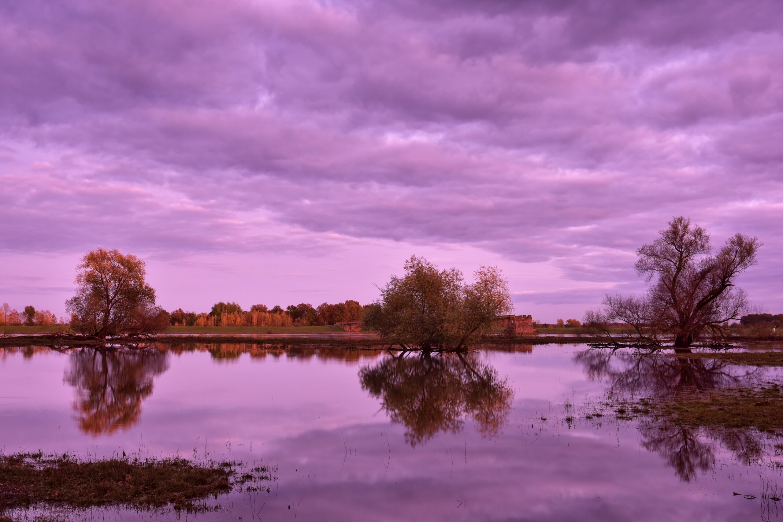
The university’s work follows severe flooding across Scotland caused by Storm Babet and Storm Ciarán last year and, more recently, floods in various parts of the UK following Storm Gerrit.
Parts of the East of Scotland experienced 235.9mm of rain throughout October – more than 80% above the monthly average. According to the Scottish Fire and Rescue Service, flooding incidents have been on the rise, with over 1,500 more occurrences during 2022/23 than in the 12 months previous.
Related content
- Space Agency puts £6.7m into Scottish satellites
- UKSA looks to progress space clean-up work
- UK Space Agency opens up satellite data to boost businesses
Glasgow’s team has published a paper, titled ‘Satellite Video Remote Sensing for Estimation of River Discharge’, in the journal Geophysical Research Letters.
The paper’s co-author Christopher Masafu from the university’s School of Geographical & Earth Sciences said that the institution’s research could have an impact across the globe.
“Close to 30% of the world’s population is exposed to flood risk and threats to the availability of fresh water. Despite that, many rivers don’t have stream gauges or other measurements in place, which limits how much we can learn about their flows and any potential risks they may pose to local populations during heavy rains.”
Satellite footage also allowed for a more in-depth insight; by providing a broader visual overview of large areas, video sensors could monitor geographical changes over time and the real-time spread of floods.
However, Martin Hurst, co-author of the paper, believes there is still work to be done.
He said: “There are limitations to the work we’ve demonstrated so far – the main one is that the measurement technique can only be used on footage captured during periods without cloud cover.”
This story originally appeared on PublicTechnology sister publication Holyrood